← Back to Catalogue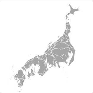
Continuous Cartogram
Continuous Cartogram
Location
You can create this chart with…

A map that assigns data values to area is called a cartogram. In a continuous cartogram, the administrative boundaries such as national or prefectural borders are preserved, and data values are assigned not only to color but also to area. Because the boundaries remain intact, adjacent regions influence each other through their distorted areas, resulting in an overall warped shape. There is an engaging quality to seeing a familiar map become distorted.