← Back to Catalogue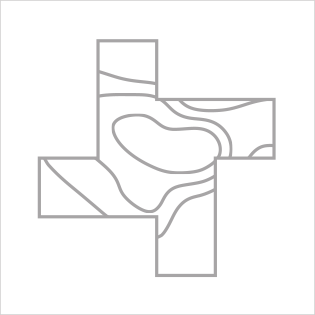
Isolines Map
Isolines Map
Location
Unclassified data is used to divide regions with isolines. Rather than splitting the data into discrete categories, the placement of isolines is determined based on the natural patterns of change in the data. The spacing between isolines is adjusted according to the magnitude of data variation. Where data changes rapidly, isolines are densely packed; where changes are gradual, they are spaced further apart.