← Back to Catalogue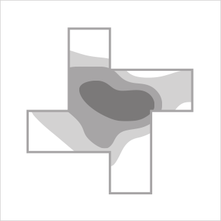
Isopleths Map
Isopleths Map
Location
Classified data is used to color regions delineated by isopleths (contour lines). Data values are categorized into defined classes, with each class assigned a corresponding color or texture. By dividing data into discrete categories, characteristics can be clearly and distinctly revealed. Although colloquially referred to as a “heat map,” this is not its formal name. To distinguish it from the non-map-based chart of the same name, it is recommended to use the proper term.