← Back to Catalogue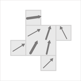
Vector Field Map
Vector Field Map
Location
Tools that can create this chart…

When continuously distributed data indicates direction and energy, such as wind direction, lines are drawn from each point of origin to visualize the continuous data. This technique is also used in weather data services to represent air currents and ocean currents.