Data Visualization: MapsData Visualization ToolboxCartogramCartogramA tool for easily creating Japan and prefecture map cartograms Learn More
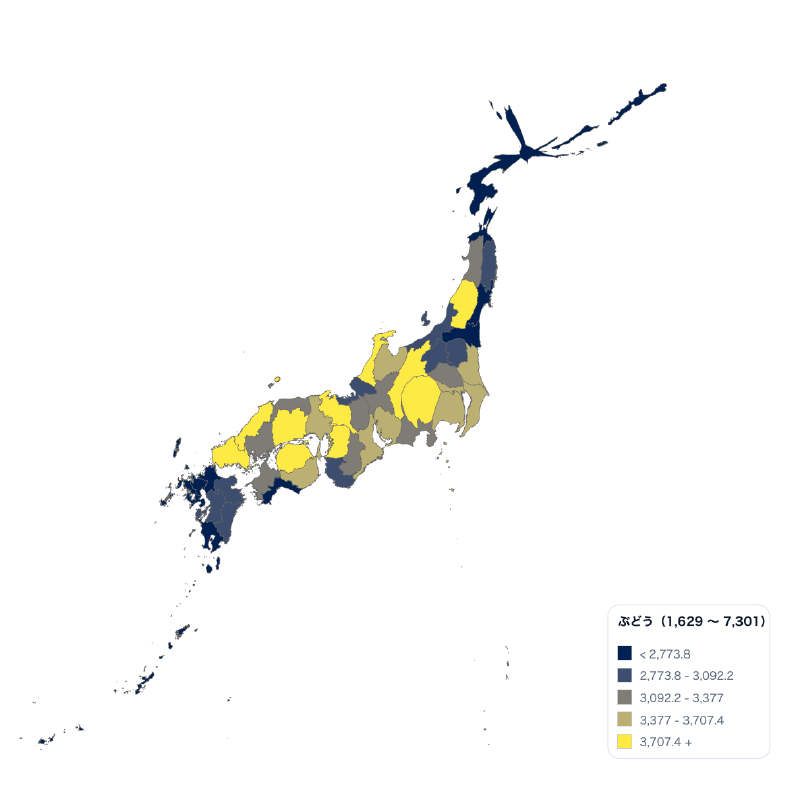
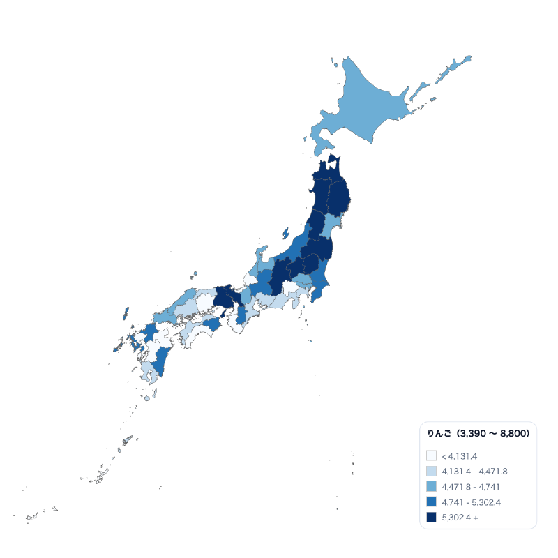
Data Visualization: MapsData Visualization ToolboxChoropleth MapChoropleth MapA tool for easily creating Japan and prefecture choropleth maps Learn More
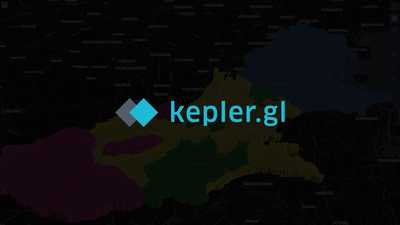
Data Visualization: MapsData Visualization Toolboxkepler.glkepler.glVisualization and exploration tool for large-scale geospatial data Learn More
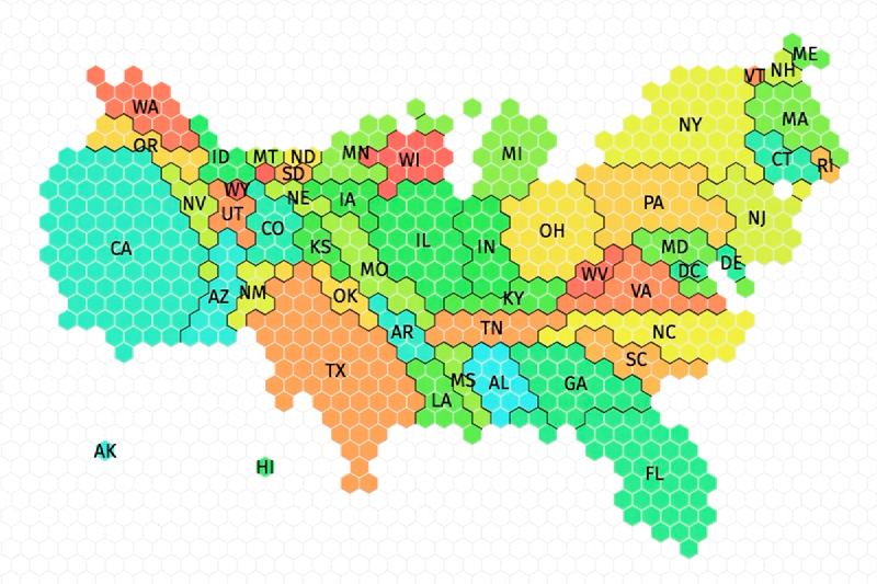
Data Visualization: MapsData Visualization ToolboxTilegramsTilegramsA tool for creating tile maps Learn More
Data Visualization: MapsData Visualization ToolboxADS-B / AIS VisualizationADS-B / AIS VisualizationEasily create videos from aircraft and ship movement data Learn More