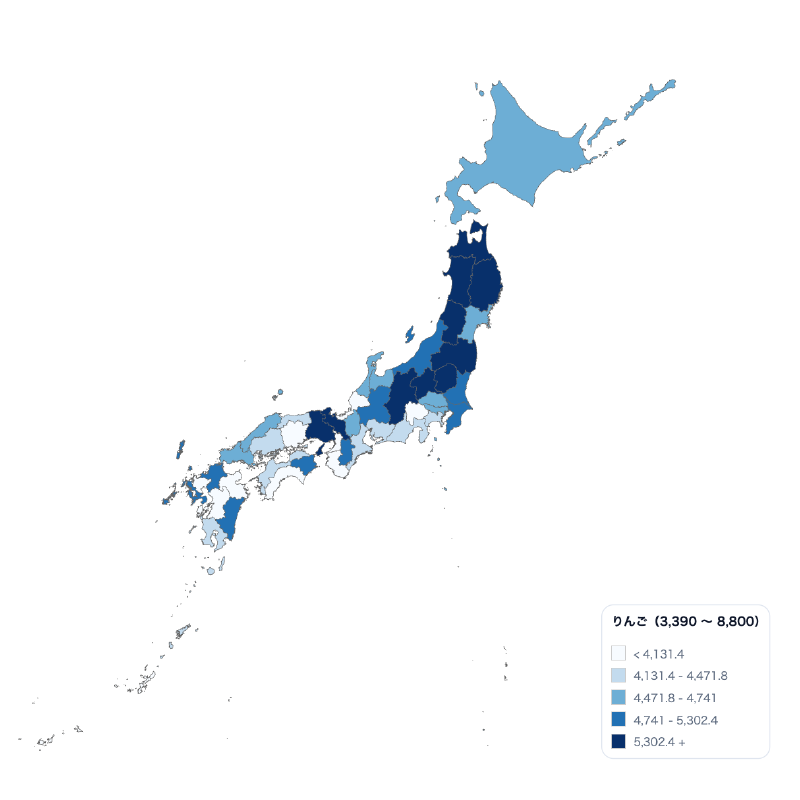
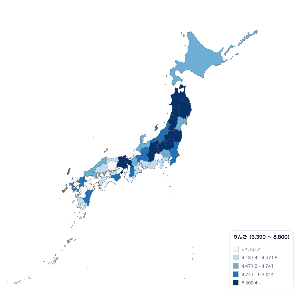
What is this tool?
A unified choropleth builder for showing either nationwide prefecture data or municipality data within a selected prefecture through color classes. It supports both univariate and bivariate maps for comparing regional patterns and relationships between indicators.
Features
- Choose Japan or prefecture scope in one builder
- Univariate and bivariate choropleth maps
- Adjustable classification, color, legend, and labels
- Export PNG, SVG, CSV, or JSON
How to use
- Choose the Japan or prefecture map scope.
- Load a CSV containing region names and values, then select the fields to visualize.
- Adjust classification, colors, and annotations, then export the result.
Data formats
- Tabular data (CSV)