
What is this tool?
A web-based tool for easily merging geographic data (GeoJSON/TopoJSON) with attribute data (CSV/JSON). It is a convenient data processing tool for when you want to link thematic data (e.g., population, attribute values) to map data.
Features
- Load geographic and attribute data…Read GeoJSON/TopoJSON, CSV, and JSON files, and preview their contents.
- Key-based join…Join geographic data (Feature properties) with attribute data using a common key column (left join basis).
- Remove unnecessary columns…After merging, select and remove unwanted columns from the output via the UI.
- Output format selection…Save and download the merged data as GeoJSON/TopoJSON/CSV.
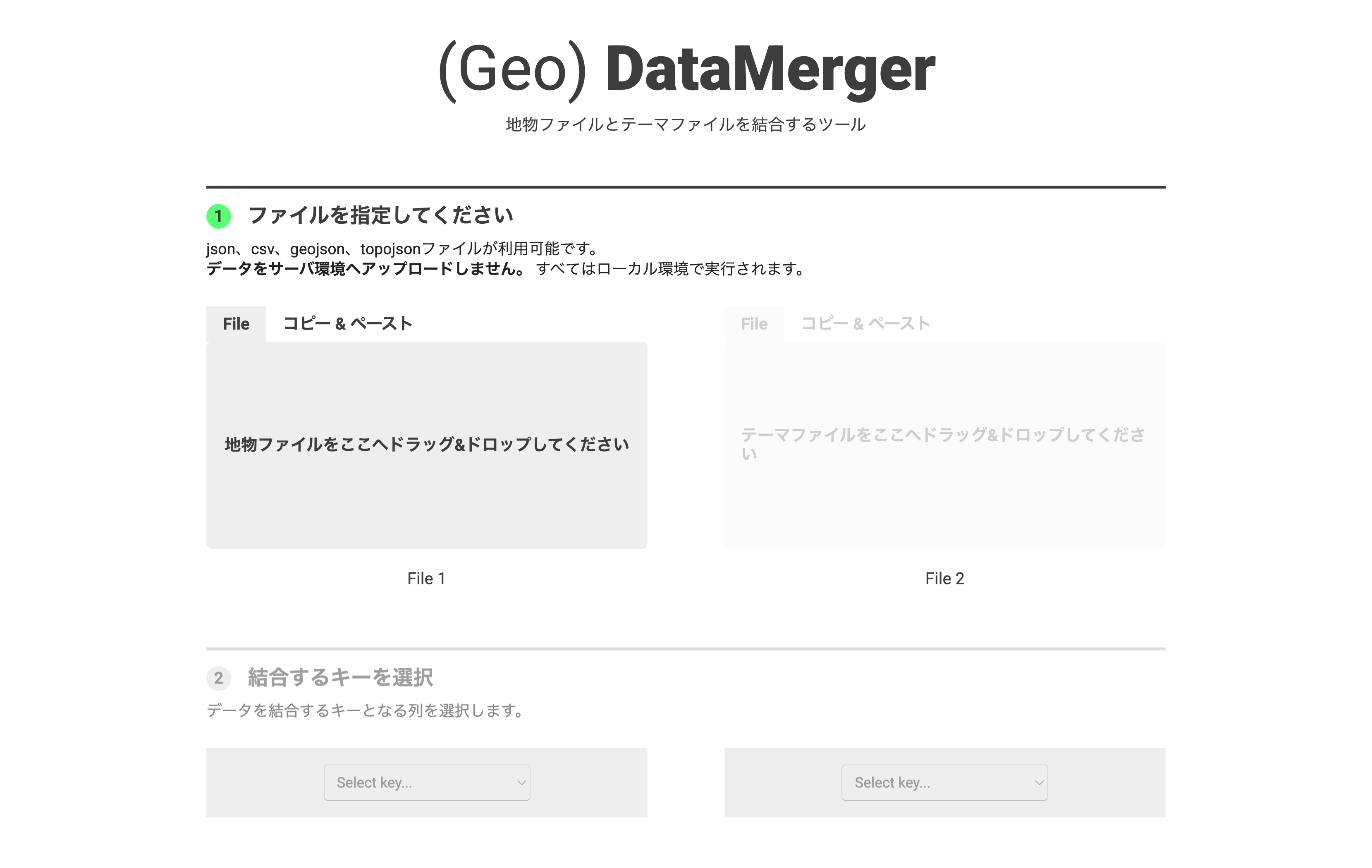
How to use
- Load geographic and attribute data…Load GeoJSON/TopoJSON on the left side and CSV/JSON on the right side.
- Specify the join key…Select the column (key) used for joining from each data preview, and verify that they match correctly.
- Remove unnecessary columns…Select and delete unneeded attribute columns after merging.
- Export and save…Export the merged data as GeoJSON/TopoJSON/CSV.
Data formats
- Input formats
- GeoJSON: Geographic Features (points/lines/polygons) + attributes.
- TopoJSON: A geographic data format that preserves topology (an extension of GeoJSON).
- CSV/JSON: Thematic data to merge (tabular data containing region codes or key-value pairs).
- Output formats
- GeoJSON/TopoJSON: Merged geospatial data.
- CSV: Merged tabular data.